
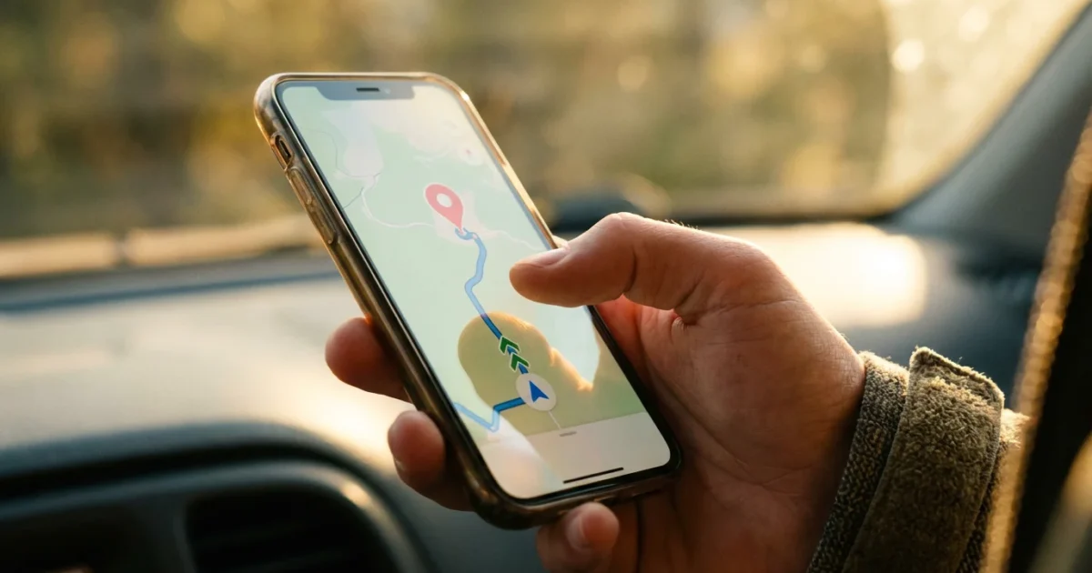
Smartphone GPS navigation offers a powerful tool for finding your way, whether you explore a new city, visit friends and family, or simply need directions to a local store. You can eliminate the stress of getting lost and gain confidence in your travels. This guide provides clear, step-by-step instructions for using your smartphone as a reliable travel companion.
Learning to navigate is just one of many useful technology tips for senior citizens that can make modern devices much friendlier to use.
Modern GPS applications offer more than just basic directions. They provide real-time traffic updates, estimated arrival times, and even information about nearby points of interest. Mastering this technology empowers you to venture out with a new sense of security and independence.
What is GPS Navigation and Why Use It?
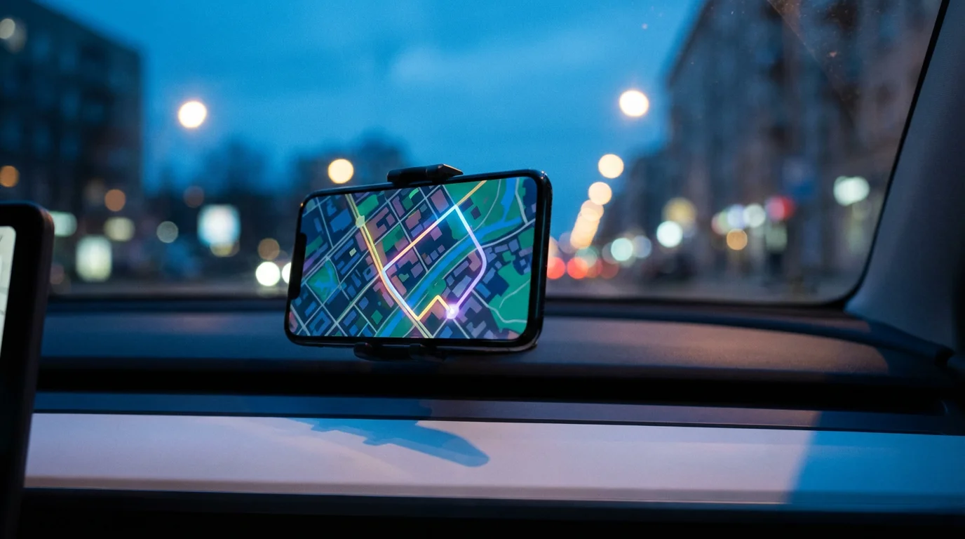
GPS stands for Global Positioning System. It is a satellite-based navigation system that allows your smartphone to determine its exact location on Earth. Your phone communicates with these satellites to pinpoint where you are and then uses that information to show your position on a map. It also calculates the best route to your destination.
As you plan your navigation routes, do not forget to look up travel discounts for seniors to save money on your upcoming journeys.
Using smartphone GPS navigation brings many benefits, especially for senior travel. You experience less stress about finding your way because the app guides you with spoken directions and visual cues. This technology supports your independence, allowing you to explore new places or revisit familiar ones without fear of getting lost. It is a reliable tool for anyone seeking to enhance their travel experiences and maintain active lifestyles.
You do not have to be young to be tech-savvy, you just need patience and practice.
Understanding Your Smartphone’s Built-in GPS Capabilities
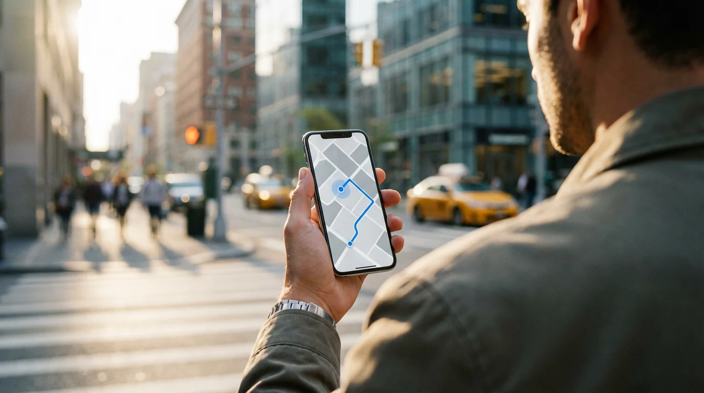
Every modern smartphone, whether an iPhone or an Android device, comes equipped with built-in GPS capabilities. This means your phone has a small receiver that can pick up signals from GPS satellites. This technology works everywhere on Earth, not just where you have cellular service.
Of course, if you would rather let someone else do the navigating entirely, relaxing train travel for seniors is a wonderful alternative to driving.
To ensure your phone has a reliable data connection for mapping on the go, it is wise to compare the best cell phone plans for seniors on a budget before taking long trips.
However, displaying maps and calculating routes often requires access to map data and real-time traffic information. Your phone accesses this data through a cellular data connection, which is your mobile internet service, or a Wi-Fi connection, which is the wireless internet connection in your home or at public hotspots. Even if your phone loses cellular data signal during navigation, it often continues to provide directions for a while using pre-loaded map sections and its direct GPS satellite connection.
Choosing the Best GPS App for Your Needs
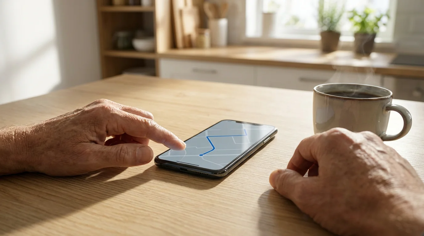
Your smartphone typically includes a pre-installed GPS app. iPhones come with Apple Maps, and most Android phones include Google Maps. Both are excellent choices, offering reliable directions and user-friendly interfaces. You might also hear about other apps like Waze, which is known for its community-reported traffic and hazard alerts.
If your phone’s screen feels too small for reading maps on a dashboard, choosing a tablet with built-in GPS capabilities could be a great alternative.
For most seniors, Google Maps or Apple Maps provide the best balance of features and ease of use. They both offer clear spoken directions, visual maps, and useful features like estimated arrival times and nearby points of interest. To decide the best GPS apps for seniors, consider these points:
- Familiarity: If you have an iPhone, Apple Maps integrates seamlessly. If you have an Android, Google Maps is deeply integrated.
- Offline Maps: Both Google Maps and Apple Maps allow you to download map areas for use when you do not have an internet connection. This is invaluable for senior travel to areas with spotty signal.
- Public Transit and Walking Directions: These apps offer more than just car directions. They can guide you on public transportation or by foot, expanding your options.
- Accessibility Features: Both apps offer options to increase text size or use voice commands, making them more accessible.
This guide will focus on Google Maps, as its interface is very similar across both Android and iPhone devices, making it a good universal example for how to use GPS on phone.
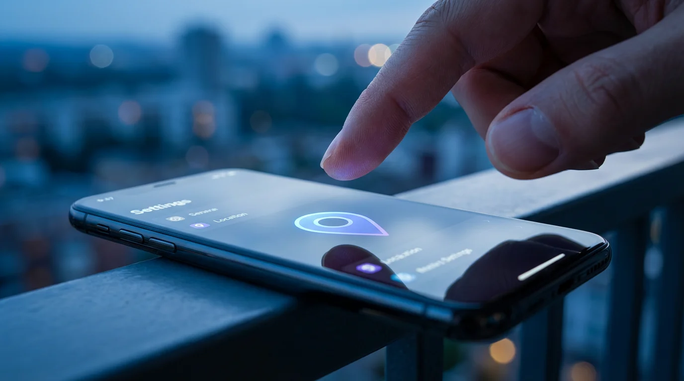
Getting Started: Essential Settings Before You Navigate
Before you embark on your journey, ensure your smartphone is ready for GPS navigation. Proper settings prevent common issues and guarantee a smooth experience.
You can also use built-in voice assistants for older adults to control your navigation app hands-free while driving.
1. Enable Location Services: Your phone must know your current location to provide directions. This requires turning on “Location Services” or “GPS” on your device.
- For iPhone Users:
- Tap the Settings icon on your Home screen. It looks like a gray gear (⚙️).
- Scroll down and tap Privacy & Security.
- Tap Location Services.
- Make sure the switch next to “Location Services” is green (on). If it is gray, tap it to turn it on.
- Scroll down to find your GPS app (e.g., Maps or Google Maps) and tap it.
- Choose While Using the App or Always to allow the app to access your location. “While Using the App” conserves battery life.
- For Android Users:
- Swipe down from the top of your screen to open the Quick Settings panel. You might need to swipe down a second time to see all options.
- Look for an icon labeled Location or GPS. It often looks like a pinpoint or a target.
- Tap it to turn it on. It usually turns blue or green when active.
- If you cannot find it, go to your phone’s Settings app (often a gear icon ⚙️), then search for “Location” or navigate to Location or Security & Location.
- Ensure “Location Services” is toggled on.
- Tap App permissions or Location access for apps and make sure your GPS app has permission to access your location.
2. Check Your Battery Level: GPS navigation uses significant battery power. Always start your journey with a fully charged phone. For longer trips, bring a car charger or a portable power bank. This prevents your phone from running out of power mid-route.
3. Ensure Data or Wi-Fi is On: While GPS itself does not need internet, map data and traffic updates do. Ensure you have cellular data enabled or are connected to Wi-Fi before you start navigating. If you use Wi-Fi, remember that you will need cellular data once you leave the Wi-Fi range unless you download offline maps.
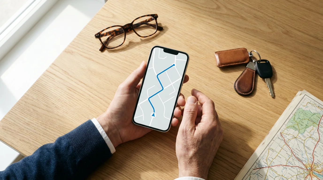
Step-by-Step Guide: Navigating with Google Maps (and Similar Apps)
Learning how to use GPS on phone becomes simple with a few basic steps. This guide uses Google Maps as an example, but Apple Maps and other apps follow very similar processes.
- Open the Google Maps App:
Find the Google Maps icon on your home screen or in your app list. It looks like a map with a red location pin (📍) and blue, green, and yellow colors. Tap it to open the app.
- Find Your Destination:
At the top of the screen, you will see a search bar that says “Search here” or “Search Google Maps.” Tap this bar.
Type in the address, name of a place (like “Grand Central Station”), or a type of business (like “coffee shop near me”). As you type, suggestions may appear below the search bar. If you see your destination, tap it.
After typing, tap the Search button on your keyboard (often a magnifying glass 🔍 or “Go”).
- Select Your Destination from Search Results:
Google Maps will show your destination on a map, possibly with a red pin. Below the map, you will see information about the location, such as its name, address, and ratings. If multiple results appear, tap the one that matches your intended destination.
- Get Directions:
After selecting your destination, you will see a blue button that says “Directions” at the bottom of the screen. Tap this button.
The app will then show you different route options. At the top, you will see icons for different modes of transport: a car (🚗), public transit (🚌), walking (🚶), or a bicycle (🚲). Tap the car icon for driving directions.
You may see several routes. Google Maps typically highlights the fastest route in blue. Other routes may appear in gray. Each route shows an estimated travel time. Choose the route you prefer by tapping it.
- Start Navigation:
Once you select a route, a large blue button that says “Start” will appear at the bottom of the screen. Tap this button to begin guided navigation.
The app will start providing spoken turn-by-turn directions. You will hear instructions like, “In 200 feet, turn left on Main Street.” The map will also show your current location (usually a blue dot or arrow) moving along the route.
- Understand the Navigation Screen:
- Your Position: A blue dot or arrow indicates your current location and direction of travel.
- Upcoming Turn: At the top of the screen, you will see the next turn instruction and the distance to it.
- Estimated Arrival Time (ETA): This shows your predicted arrival time.
- Distance Remaining: The total distance left to your destination.
- Re-routing: If you miss a turn or take a different route, the app automatically recalculates and gives you new directions.
- End Navigation:
When you reach your destination, the app will announce, “You have arrived.” To manually end navigation at any time, look for a button that says “Exit” or “End” (often a red circle with a white ‘X’ or ‘End’ text) at the bottom or top of the screen. Tap it to stop.
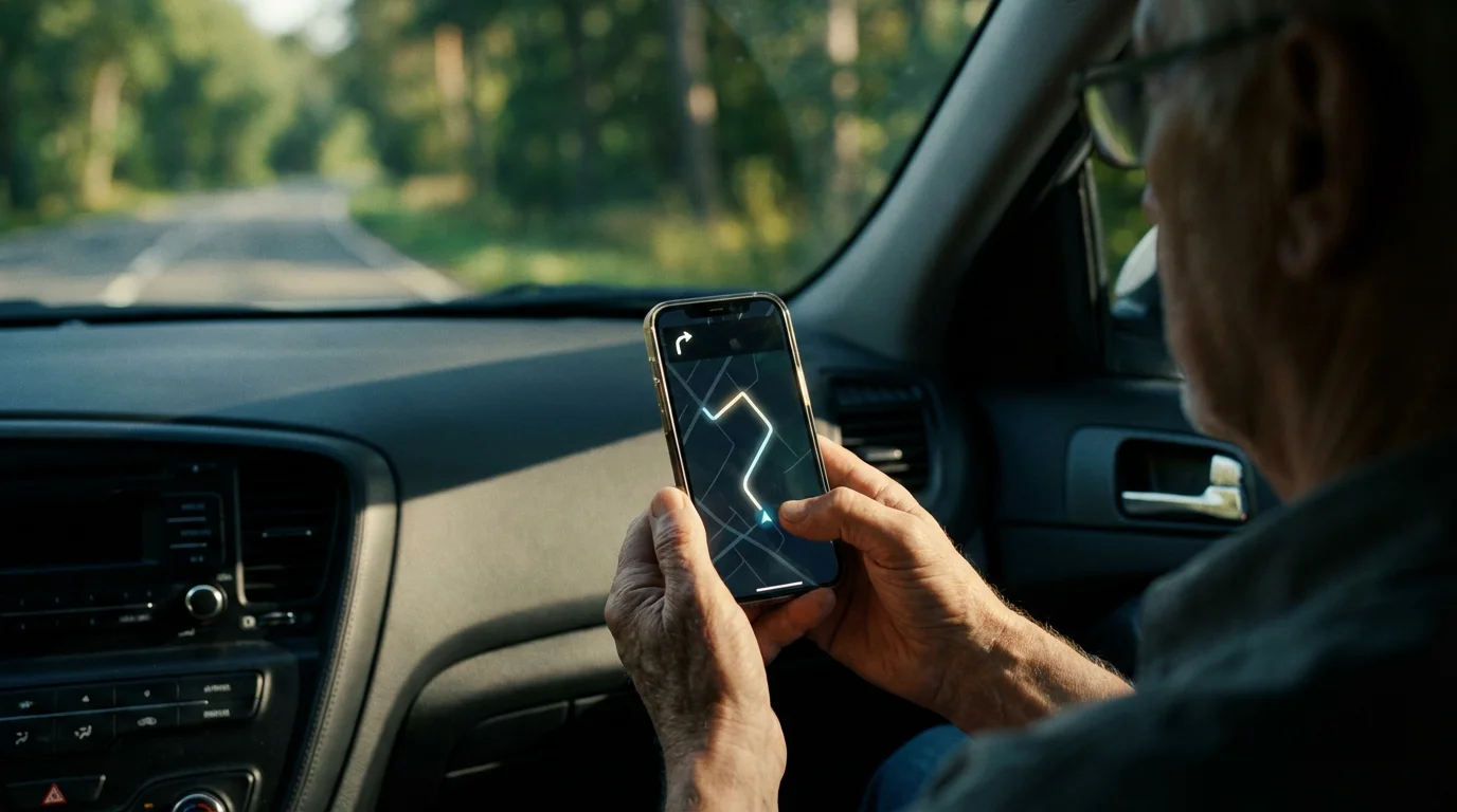
Advanced Tips for a Smoother Journey
With practice, you can use your smartphone GPS to do more than just get from point A to point B. These tips enhance your senior travel experience and improve your overall navigation skills.
Having offline maps ready is particularly beneficial for those enjoying senior RV travel in areas with limited cell reception.
Having offline maps ready is particularly beneficial for those enjoying RV travel for seniors, where highway cellular reception can be unpredictable.
- Download Offline Maps: Before leaving home, especially for long trips or areas with poor cellular service, download maps of your destination. This ensures continuous navigation even without internet access. In Google Maps, search for a city or area, then tap the menu icon (three dots ••• or three lines ☰) and select “Download offline map.”
- Use Voice Commands: Most GPS apps integrate with your phone’s voice assistant (Siri for iPhone, Google Assistant for Android). You can say, “Hey Siri, give me directions to the nearest gas station” or “Hey Google, navigate to 123 Main Street.” This keeps your hands on the wheel and your eyes on the road.
- Save Favorite Places: Mark your home, workplace, children’s homes, or frequent destinations as “Favorites” or “Saved Places.” This saves time when you need directions to these locations, allowing you to tap them instead of typing the address every time.
- Share Your Estimated Arrival Time: If you are meeting someone, you can often share your ETA directly from the navigation screen. This sends a text message or email with a link they can tap to see your live progress on the map. It offers peace of mind to your loved ones.
- Explore Street View: Before you drive, especially to an unfamiliar address, use the “Street View” feature in Google Maps. This shows you actual photographs of the street and buildings, helping you recognize your destination upon arrival.
- Check Traffic Before You Go: Most GPS apps display current traffic conditions using color-coded lines on the map. Green indicates clear traffic, orange means moderate congestion, and red signifies heavy traffic. Checking this before you leave helps you avoid delays.

Troubleshooting Common GPS Navigation Problems
Sometimes, technology does not work perfectly the first time. If you encounter issues with your smartphone GPS, do not get discouraged. These common troubleshooting steps resolve most problems.
- “GPS Signal Lost” or Inaccurate Location:
This often happens when your phone cannot connect to enough satellites. Move to an open area away from tall buildings, dense trees, or inside structures. If you are in a car, ensure your phone has a clear view of the sky, perhaps on your dashboard.
Action: Restart the GPS app. If that does not work, restart your entire phone. This often resets the GPS receiver and resolves signal issues.
- App Crashing or Freezing:
Sometimes, the app might stop responding or unexpectedly close. This could be due to a temporary software glitch or insufficient phone memory.
Action: Close the app completely and reopen it. On an iPhone, swipe up from the bottom of the screen (or double-click the Home button), then swipe the app upwards to close. On an Android, tap the square “Recent Apps” button, then swipe the app away. If the problem persists, restart your phone.
- Battery Drains Quickly:
Continuous GPS usage and screen display consume a lot of battery power. This is normal.
Action: Always start with a full charge. Carry a car charger or a portable power bank, especially for longer trips. Reduce screen brightness when possible, as the screen is a major power consumer.
- No Spoken Directions:
If you cannot hear the turn-by-turn instructions, check your phone’s volume settings.
Action: Increase your phone’s media volume using the volume buttons on the side of your device. Also, check the app’s internal volume settings, which are often found in the app’s settings menu (look for a speaker icon 🔊). Ensure your phone is not connected to a silent Bluetooth device, such as earbuds you left in another room.
- Maps Not Loading or Outdated:
This indicates a problem with your internet connection or outdated app data.
Action: Ensure your cellular data or Wi-Fi is active and strong. If using Wi-Fi, try moving closer to your router. You can also clear the app’s cache (in Android settings under “Apps” -> your GPS app -> “Storage”) or uninstall and reinstall the app to get the latest version. For iPhones, reinstalling the app from the App Store also helps.
If these steps do not resolve your issue, consult your phone’s official support resources. You can find detailed guides for Apple devices at Apple iPhone Support and for Android devices at Google Android Help.
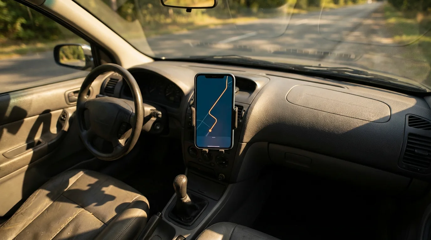
Quick Reference: Your GPS Checklist for Safe Travel
Before you hit the road, use this quick checklist to ensure your smartphone GPS is ready to guide you confidently.
- Fully Charge Your Phone: Ensures your device does not run out of power mid-trip.
- Enable Location Services: Allows your phone to pinpoint your exact location.
- Confirm Internet Connection: Verifies you have cellular data or Wi-Fi for map loading and traffic updates.
- Download Offline Maps (Optional, but Recommended): Provides navigation even without an internet signal.
- Enter Destination Accurately: Double-check the address or place name before starting navigation.
- Review Route Options: Choose the route that best suits your preferences.
- Adjust Volume: Set the media volume to a comfortable listening level for spoken directions.
- Mount Phone Securely: Use a car mount for clear visibility and to keep your phone stable.
Frequently Asked Questions
Does GPS navigation use my phone’s data plan?
Yes, GPS navigation apps use your phone’s cellular data plan to download map information, traffic updates, and search for destinations. The actual GPS signal that locates you does not use data, but the maps and additional features do. You can reduce data usage by downloading offline maps before your trip while connected to Wi-Fi.
Can I use GPS without an internet connection?
You can use GPS without an internet connection if you have downloaded offline maps for the area you are traveling to. The phone’s GPS receiver still tracks your location via satellites. However, without an internet connection, you will not receive real-time traffic updates or new search results for places not on your downloaded map.
Is my smartphone’s GPS accurate enough for driving?
Yes, your smartphone’s GPS is generally very accurate for driving. It typically pinpoints your location within 16 to 33 feet (5 to 10 meters). Modern phones use a combination of GPS satellites, Wi-Fi, and cellular tower signals to achieve high accuracy, making them reliable tools for navigation.
Do I need to pay for GPS navigation apps?
Most popular GPS navigation apps, such as Google Maps and Apple Maps, are completely free to download and use. They provide excellent features and capabilities without any subscription fees. Some specialized GPS apps might offer premium features for a fee, but for most needs, the free options suffice.
How can I make the spoken directions louder?
You can make spoken directions louder by increasing your phone’s media volume using the physical volume buttons on the side of your device. Also, check the volume settings within the GPS app itself. Some apps have a dedicated volume control in their settings menu. Ensure your phone is not connected to a silent Bluetooth device.
What if I accidentally miss a turn?
If you accidentally miss a turn, do not worry. Your smartphone GPS app will automatically detect that you have deviated from the planned route. It will quickly recalculate a new route from your current position and provide updated spoken and visual directions to get you back on track toward your destination. You do not need to do anything; the app handles the re-routing automatically.
Disclaimer: This article is for informational purposes only. Device interfaces and features may vary depending on your device model and software version. Screenshots and steps are based on common versions but your experience may differ slightly. When in doubt, consult your device manufacturer’s official support resources.









Leave a Reply